Sunday, June 24, 2018

Saturday - A hike along Desert Voices Trail

We had started the Desert Voices Trail on Friday, but decided it was too hot for us (it was just after 9am and the temperature was already getting uncomfortably warm). So, on Saturday morning, we got up when Tabitha requested (demanded) breakfast, just before 6am, and got to the trailhead near the Split Mountain campground just before 7am.
The first sign told us that the length was 1.5 miles.

A sign a few feet later provided a little information about the terrain we would cover...

This sign told us that the length was 2 miles.
 I saw this graph on the way in... and had it in my head - I knew that it indicated that the trail got "very strenuous" in the summer, but for some reason I thought the axis on the bottom was on the duration of the hike - as we got further along, it got harder. I didn't notice that the axis showed time - from 6am to 6pm - along the bottom axis - until I looked at the photograph after we got back to the bus.

The trail had interesting information targeted specifically for children - or... I guess it was for children!

At the beginning of the trail, we were in a wash, and the plants were quite lush for a desert landscape.

We are within the Great Basin Desert.

But it is known as a Cold Desert

As we got further along the trail, the plants did not overhang the path as much (for which I was thankful because I had not worn long pants).

I had never heard of cryptogamic soil before - sounds like something that a de-coder ring would help with!

I had noticed the black coloring on the soil and thought it looked like a mold (which I guess it is like).
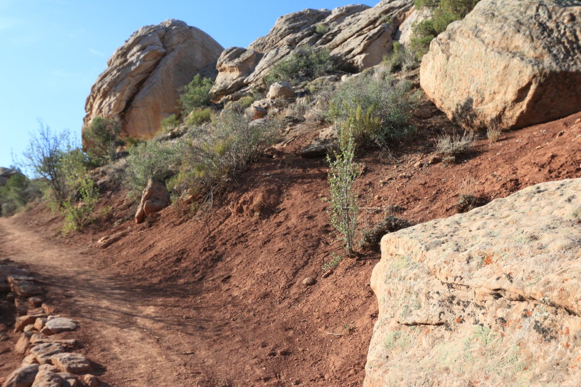
 I don't have text to associate with most of the scenery pictures, so will just include them without captions for your enjoyment of the glory of God's creation...


This was at the spot where we could decide to stay on the Desert Voices loop or take a short connector trail to the Sound of Silence trail (which would mean our total hike would go from 1.5 or 2 miles to a 5 mile loop) - we elected NOT to do the longer hike!

Nice to have clear signage.

This was looking back the way we came - it says that the trailhead and Split Mountain Campground were 1 mile away - so we'd come 1 mile.

Looking back down the path the way we came... we continued onwards on the Desert Voices loop.


I thought that it was interesting that prairie dogs can "make their own" water (called metabolic).
 Turning to wikipedia for more information (https://en.wikipedia.org/wiki/Metabolic_water):
Metabolic water refers to water created inside a living organism through their metabolism, by oxidizing energy-containing substances in their food. Animal metabolism produces about 100 grams of water per 100 grams of fat, 42 grams of water per 100 g of protein and 60 grams of water per 100 g of carbohydrate.
Some organisms, especially xerocoles, animals living in the desert, rely exclusively on metabolic water. Migratory birds must rely exclusively on metabolic water production while making non-stop flights. Humans, by contrast, obtain only about 8-10% of their water needs through metabolic water production.


This is an interesting picture - Google noticed that I had taken two pictures close together and created the panoramic photo for me - I thought it was really nice! It took me a while to figure out how to get it to the directory on my computer to be able to import it into the blog, but the creation of the panoramic shot was done for me!

I knew that the federal government owns a lot of the land in the west, but I didn't know how it occurred - that states were given their choice for development and ultimately the federal government kept what was left. As shown at the bottom of the info-plaque, there are several different federal organizations who have responsibility for different areas.

The mission of the National Park Service is preservation

Other agencies manage the land for a variety of purposes.


Since we were on the "Desert Voices" trail, and since the early sign encouraged us to be quiet and listen, we did... but what we heard most of were airplanes in the sky above us. I got this picture when the contrail was being illuminated by the sun and we were behind a rock shaded from the rising sun.

This is an interesting graphic on the sources of water for the upper Green River. You can notice that the Yampa River does not have a reservoir or irrigation diversions - this was a point that we had read about in several places since we've been here at Dinosaur National Monument. In the mid 1900s, there was a proposal to dam the river within the park to create a lake and recreation area - the area that we visited a few days ago at Echo Park would have been under water. The determination was made that National Park land should not make that kind of change to the environment inside the national part (or monument). That decision impacted not just Dinosaur National Monument, but other lands managed by the National Park Service as well.

It was not always clear to me when we were in National Park lands or lands managed by other federal agencies when we were on the Colorado side of the monument, but I guess the areas where cattle or sheep were grazing were either privately owned or leased from other federal agencies.

This was an article from the early 1990s. Based on an internet search (https://www.blm.gov/press-release/blm-and-forest-service-announce-2018-grazing-fees), I guess this did not pass, or the fees have gone down - the cost for 2018 is $1.41 per animal unit month. Another source shares information about additional costs incurred by ranchers who are grazing on public lands and the part that taxpayers pick up - https://www.opb.org/news/series/burns-oregon-standoff-bundy-militia-news-updates/federal-grazing-fees/


Almost back to the trailhead!
 We walked down to the Green River boat ramp while we were in that area...

This quote from John Wesley Powell: "... the scenery was on a grand scale, and never before did I live in such ecstasy for an entire month..."


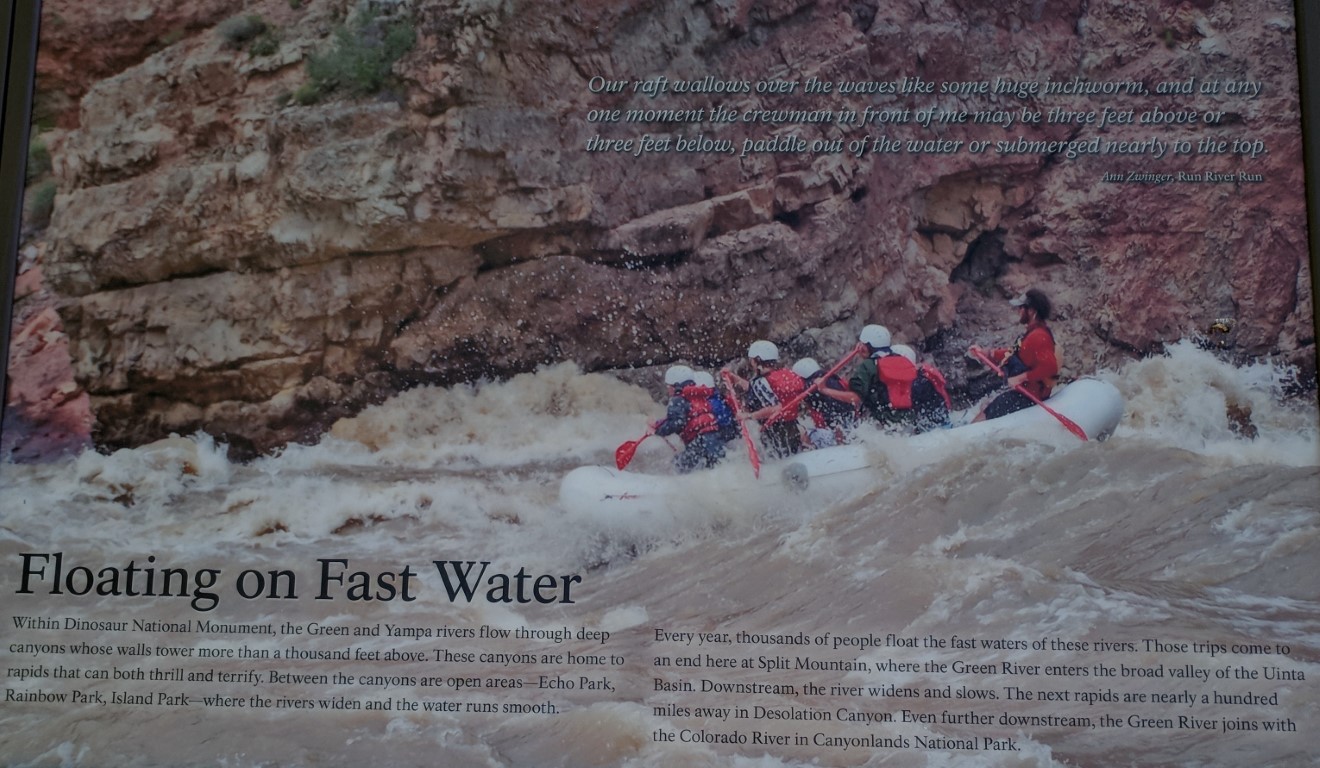
 There were a number of trucks with trailers to transport rafts after they finish up their trips and end here at Split Mountain. I looked up a couple of them - one had "luxury" raft trips for 5 days / 4 nights on the Green River for the bargain price of $2300/adult (http://www.griffithexp.com/luxury-expeditions) - but "luxury" is the only way I'm interested in camping! But I found another that had 1 day trips on the Green River for just $119/adult (http://www.donhatchrivertrips.com/day-trips/splitmountaincanyon-itinerary.php). When I was reading about this, I remembered seeing some folks in front of the Visitor's Center when we arrived there on Friday that looked like they were ready to go rafting - they were waiting out front, and I bet there was a transportation vehicle that would come to take them to the put-in spot. I think I'm glad I didn't figure this out until our last day here at Dinosaur, because I think I may have been tempted to try to talk Dwayne into doing a one day rafting trip!

I thought that the glare from the sun actually made this an interesting photo - Dwayne is standing down the boat ramp near the river - you can just see his white cowboy hat.

The Green River with Split Rock Mountain rising up out of it.

Looking downstream down the Green River.
We have enjoyed our visit to the Dinosaur National Monument. Planning to keep heading further west along US 40 on Sunday after enjoying our home church's livestream in the morning.

Saturday, June 23, 2018

Friday - part 2 - drive on the "Tour of Tilted Rocks"

After our visit to the Quarry Exhibit Hall on Friday, we decided to make a drive on the dinosaur side of the park. They have an auto tour called, "Tour of Tilted Rocks" (https://www.nps.gov/dino/planyourvisit/tour-of-tilted-rocks.htm). We got an Auto Tour Guide booklet in the Visitor's Center. The tour was very interesting - primarily due to petroglyphs, pictographs, and information about recent residents of this area.

Our first stop was to see petroglyphs and pictographs by the Fremont people - they were the same ones who they think created the petroglyphs down near Echo Park that we visited a couple of days ago.  http://trekincartwrights.blogspot.com/2018/06/dinosaur-national-monument-day-2.html

Some of these had color - pictographs.


Reminds me of E.T.

In this one you can see some of the red color.


At the next stop, we saw some mountains that gave the reason for the title of the tour - tilted rocks...

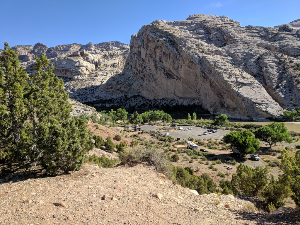
Split Rock mountain - and the parking lot for Split Rock Campground (a group campground) down below.

The Green River as it flows by Split Rock Campground (a little upstream from where we are camping).

We drove on to another overlook. We had visited the remnants of the Crew Ranch on our drive to Echo Park. Descendants of the Crews still ranch across the river from Green River Campground where we are staying.


The view from the overlook. The cottonwood trees that are closer are part of the Green River campground (on "this" side of the river - where we are staying) - the green irrigated field is part of the Crew's ranch on the other side of the river.
The tram driver who took us to the Quarry Exhibit Hall told us a story about the rancher - he said that many years ago, there was no bridge from the Monument side of Green River to the ranch side, so the rancher would ride his horse out to the road (maybe US 40?) to a place where he kept his vehicle parked. After some years, he got an airplane that he would fly from the ranch to Vernal, where his family lived. One day, a wind storm came up and tossed the airplane along the ground damaging it enough that he could no longer fly, so he was back to using horse and truck to visit his family.

Now there is a bridge across the Green River which we used to get over to see the remainder of the tour.

More examples of "tilted rocks" on our drive.

More petroglyphs from the Fremont people. I'm starting to think that they were graffiti artists!


Closeup 1 on this rock... is the object on the left a flower vase with the roots growing out the bottom?

Closeup 2


A different rock - I have called this one "Jazz hands"
Then we drove around the corner - the booklet said that we could hike up a pretty steep path to see the petroglyphs, or that we could see them from the parking area with binoculars, or possibly with the naked eye...

When we got there, we weren't sure what we were looking for... and the day had become hot enough that the prospect of hiking up a steep incline wasn't appealing... so we used the binoculars... but we weren't sure what we were looking for...

A guy and his two boys were already on their way up, and he seemed to know what he was looking for, so we watched them - do you see him - a figure in blue - in the middle of the photo in front of a dark spot on the cliff face?

They were taking pictures there - can you see one of the lizards carved into the dark spot that is just above them?

Here it is zoomed in some more - there are actually 3 lizards - one is pretty obvious, on a diagonal axis from lower left to upper right. Another is straight up and down just in front of the head of the diagonal one... the third one is directly below the diagonal one and hard to see in this picture - it is at the same level as the dad's torso.

Here they are zoomed in more. The other animals/creatures are pretty stylized, but these lizards really look like lizards to me!

There was one other that we wanted to see - it is in the left middle toward the top of this picture (between the boy and his dad but about twice as high on the rock face as the dad is tall).
Zooming in - it is said to be a flute player - isn't that cool?
One of the things that the booklet pointed out was that these drawings are evidence that these people weren't struggling to just survive or subsist - they had time to indulge in creative activities.

At the end of the tour, we came to the homestead of Josie Morris.

She seemed to be quite the character...
 I've taken pictures from the content of a brochure that we picked up at the Visitor's Center with information about her:


Regarding the statement about her being tried and acquitted twice - we heard a story that Josie would rustle her neighbors' cattle (even though she had cattle of her own), butcher them, and take the meat and vegetables from her own garden to others in the area who were starving and not able to do for themselves - recently come Mormon settlers. The reason supposed for her acquittal was that, in providing a "jury of her peers" in the trials, at least one of the people on each jury would be someone who had received a benefit from her, or who was related to someone who had, so the juries would never be able to come to a unanimous decision to convict her and sentence her to hanging. The story was that the accusers had even dug up on her land the hides of the animals that she had rustled and slaughtered, with the brands of the other ranchers, but still she was not found guilty! A Robin Hood in skirts?

Regarding her death: We also saw another write-up that said that she fell when her horse nudged her with his nose and she slipped on ice and broke her hip - at age 89. She dragged herself to her cabin, and a few days later, friends checked on her and found her laid up in her cabin. When they took her to the hospital, she said that she feared that she would never be able to return to her life on her homestead, and unfortunately, that became true as she passed away just a few months later.


Coming up to the cabin. She had built more than one cabin on this site - I think the information said that this one was built in the 1930s.

It has been shored up and repaired.


I was surprised at how many windows were in the cabin. I would think that would make it colder in the winter. But, another story we heard was that she did not sleep in the cabin, but rather slept in the lean-to on the side.

There were a few stiles around the yard area - to allow easy passage for humans through the fence but to keep livestock out.
We enjoyed the drive and learning more about the area on this side of Dinosaur National Monument.