Last night we got to visit Patti's former co-worker, Holly, and her husband, Wayne. They invited us to their house up in elevation above Santa Fe - and it was so beautiful, and so nice to get to visit with them. Unfortunately, no pictures!!!
Since today was our last full day to spend here near Cochiti Lake, we decided we should drive around to the other side and see what there was to see.
Before leaving this side, though, we decided to drive down to the boat launch area.
 |
| Overlook of the lake from above the boat launch area... |
 |
| The Google Maps view implied that there wasn't much beyond the campground (the figure 8 loop is the campground). (link to google maps) |
 |
| But, looking at the satellite view, it was obvious that there was at least a path, if not a road, along the side of the lake for a while. The red marker was the end of the road that we traveled on this morning... |
It turned out to be a road, and it led to several nice areas where folks were enjoying the lake.
 |
| At this stop, there were a couple of folks and their dog on the stand-up paddleboards - though the dog came back and forth to the guy on the dock a few times while we were there. |
 |
| People in kayaks enjoying the lake... |
 |
| I think I indicated a couple of days ago that I thought that the lake was very low, but after our trip today, I don't think it is. I think it is just quite a bit lower than the elevation of the campground. |
 |
| At the end of the road, we saw more boating - there were two sailboats that almost looked like they were racing... |
 |
| Until they turned around, and then they got quite separated. |
 |
| It was breezy! |
 |
| From the overlook on "our" side of the lake - a view of a sailboat and the dam. |
 |
| Some of the land formations around us. |
After returning from our drive to the end of the dirt road on this side of the lake, we headed toward the town of Cochiti Lake, on the other side of the lake.
 |
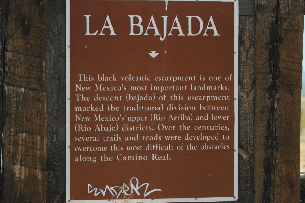
| We had seen this information board at the turn where we turn off the main road onto the 10 mile road that comes to our campground (which has quite a lot of potholes!). The area is called La Bajada. |
 |
| Dwayne took some pictures as we were driving... |
 |
| Coming to a crossroads... |
 |
| The back side of the dam |
 |
| More of the dam... |
 |
| I read that it is one of the 10 largest earthen dams in the US, and one of the largest in the world as well. The Rio Grande exits from the lake and was a nice looking river at this point in its journey. The lake is to provide both flood control for downstream on the Rio Grande, and sediment control for the river. |
 |
| On our way to the town of Cochiti Lake, we took at detour to visit Kasha-Katuwe Tent Rocks National Monument. |
When we got to the National Monument entrance, there was a delay getting in as they only allow as many cars to enter as there is available parking. There were about 6 cars in front of us when we arrived, and we waited about 10-15 minutes before we were allowed to go in.
 |
| We decided to hike the Cave Loop - and we took the route to the right or counter-clockwise - in case any of my readers plan to go... I think the right path was easier, even though it was a loop, it seemed there was more of a severe climb if you went around the loop clockwise. |
 |
| One of the information signboards |
 |
| The rocks were beautiful... |
 |
| The first part of the path on the counter-clockwise direction (about 0.5 miles) was hard packed, easy to walk on, and indicated as ADA accessible. The last 0.7mi was a little narrower and, in some places, I wished that we had brought our walking sticks just for a little more security on sandy downward-sloping paths. |
 |
| About 1/2 way along the "Cave Loop" was a cave. |
 |
| Early visitors in this area carved the cave out. |
 |
| Perspective of size with other folks who were on the trail at the same time that we were. |
 |
| Looking out across the plains that were behind us. |
 |
| The formations were so interesting... |
 |
| Beautiful... |
 |
| Coming into the area that gave the monument its name - "Tent Rocks" - I'm in the picture over to the left to give you an idea of size of these "tents" |
 |
| Some of the tent rocks up the hill from us... |
 |
| All around us... |
 |
| So interesting! |
 |
| From Tent Rocks, we headed back to go to Cochiti Lake - we wanted to see the village, and the campground where we were originally going to stay for the next few days. (google map link) |
 |
| There was an overlook on the Cochiti Lake (west) side of the lake too - a view of the dam and a recreation area that was in good use today. |
 |
| Some of the RVs in the Cochiti Lake campground ... |
 |
| Some more of the campground. The campground on the Cochiti Lake side was somewhat nicer than the Tetilla Peak side - hard surface roads and sites, pretty copper topped ramadas. But, the sites still appeared to not be very level (which is a problem we've seen on the Tetilla Peak side too). |
We had a good drive today and enjoyed seeing more of the area around us!


No comments:
Post a Comment